Durante el año 2024, se continuó con la realización de los estudios de campo, diseño arquitectónico y desarrollo de especificaciones técnicas de los proyectos que involucra el Programa de Sustentabilidad, además de haber llevado a cabo la construcción y desarrollo parcial de los proyectos que forman parte de este.
1.- Connect
Mobility project for the connection and closure of the pedestrian walkway and cycle path circuit on the Ciudad Universitaria campus, contemplating the construction of a pocket park and a pick-up and drop-off bay for public transport.
Area: 3,128.20 m²
Beneficiaries: 80,000 people
Components:
a) Ciclovía unidireccional 222.00 ML
b) Árboles: 35 individuos c) Bolardos: 50 piezas d) Luminarias urbanas: 30 piezas.
2. Connect Stage 3. South body stage 1
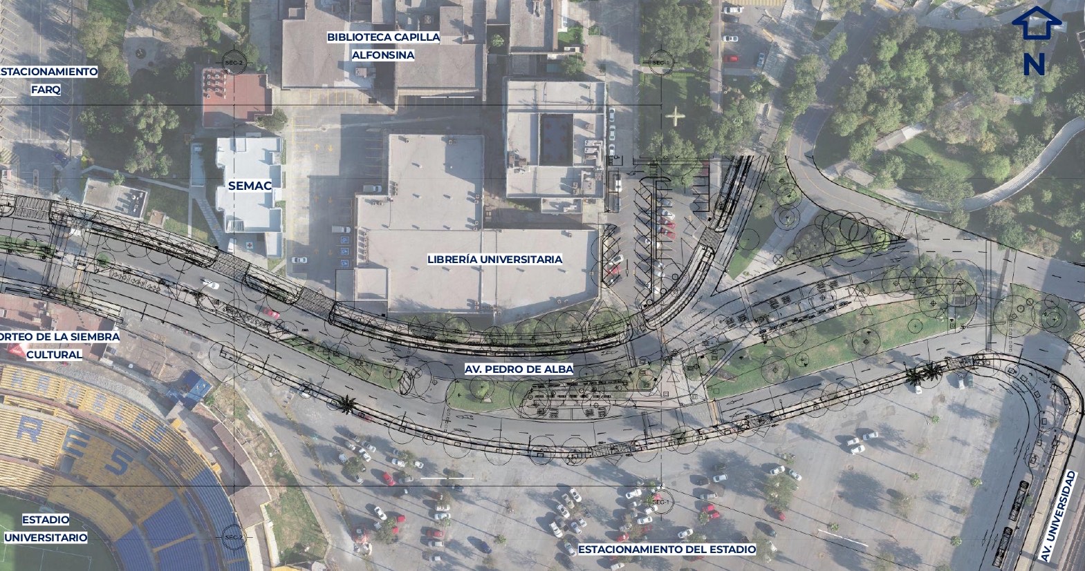
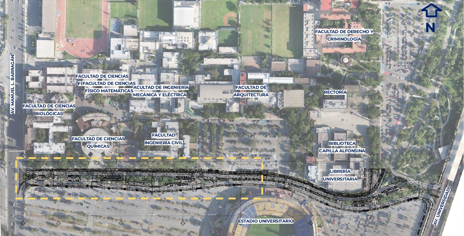
Rehabilitation of the southern section of Av. Pedro de Alba, which includes the reconstruction of the pedestrian sidewalk with universal accessibility components, in order to ensure universal accessibility and safe and comfortable spaces.
Area: 1,201.17 m²
Beneficiaries: 80,000 people
Components: a) Estructura de TigreBus Dimensiones 5.30 X 24 M b) Bolados: 26 pieces c) Waste modules: 15 pieces d) Water drinkers: 2 pieces e) Street lights: 11 pieces f) Pedestrian lights: 6 pieces
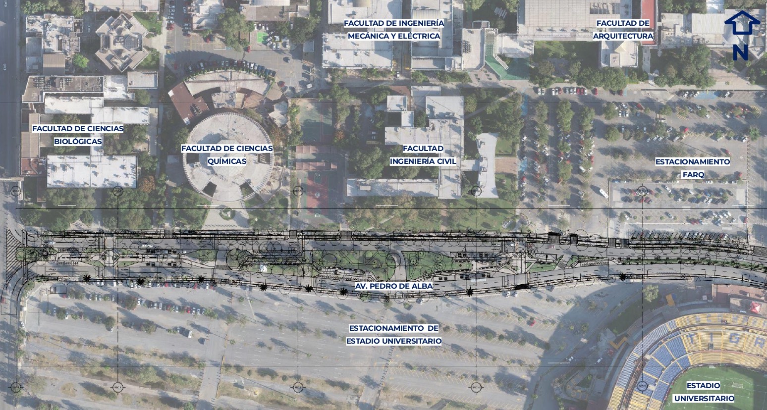
3. Connect Stage 3. South body stage 2.
Rehabilitation of the southern section of Av. Pedro de Alba, which includes the reconstruction of the pedestrian sidewalk with universal accessibility components, in order to ensure universal accessibility and safe and comfortable spaces.
Area: 1,201.17 m²
Beneficiaries: 80,000 people
Components: a) Bollards: 16 pieces b) Garbage Modules: 5 pieces
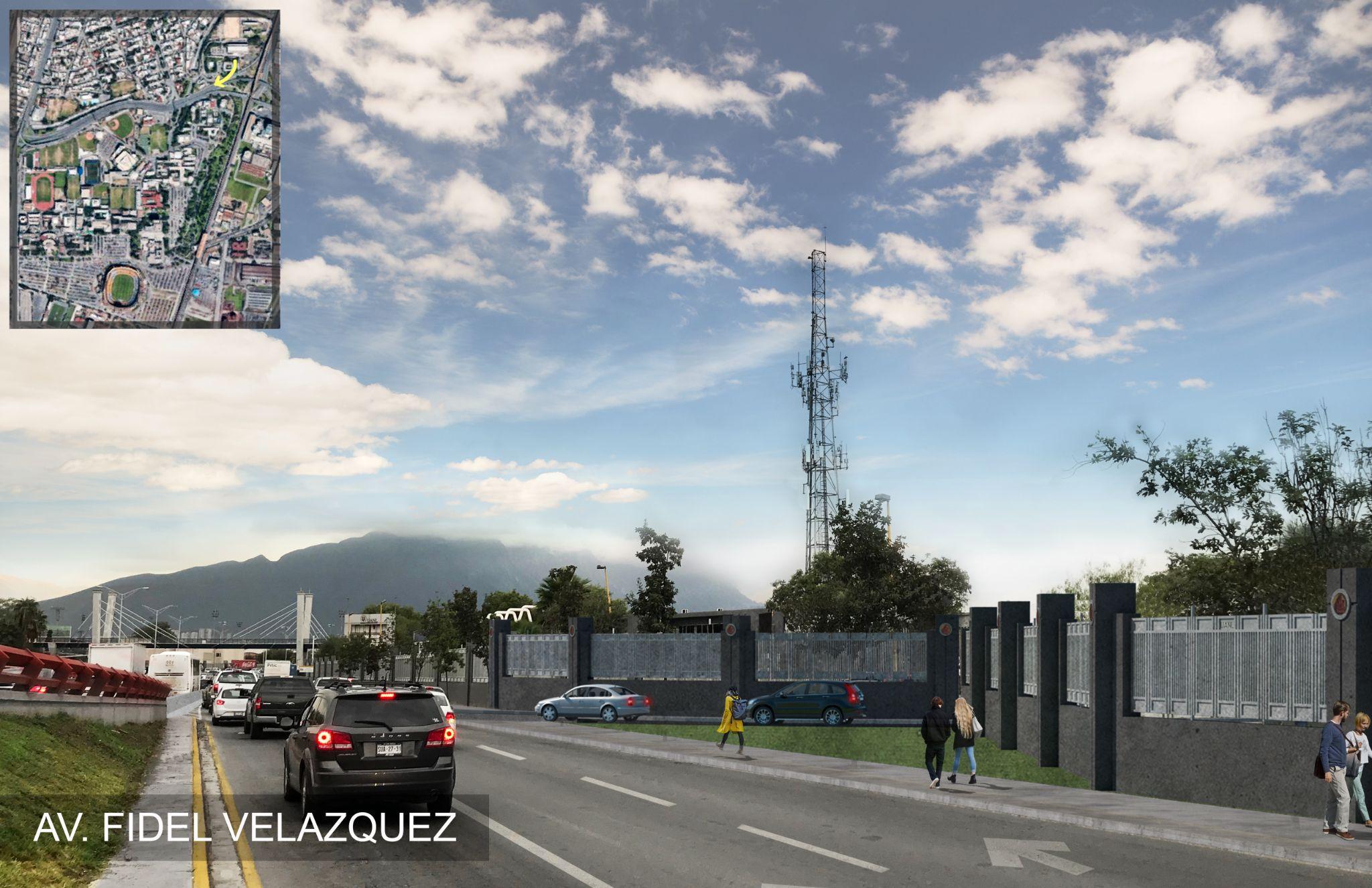
4. Connect. North Gas.
The plan is to move the bridge and add an elevator, a landing area and stairs. Add trees, street furniture and floor finishes.
Altura: 5.20 metros Desarrollo: 91 ML Pendiente: 6%
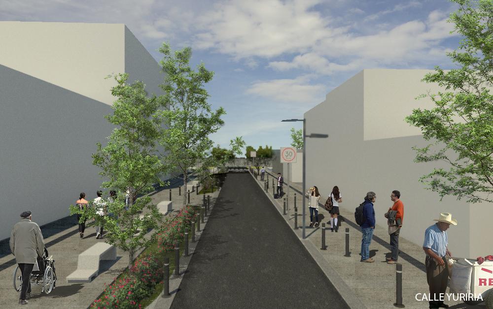
5. Green corridor. Faculty of Communication Sciences, Green Corridor Av. Aqueduct
Proyecto de movilidad integral desde el acceso en área de Facultad de Ciencias de la Comunicación hasta Av. Acueducto con la intervención
de corredor verde. Cumpliendo con premisas de reorganización del espacio público, estacionamiento, andadores y accesos, además de elementos de movilidad urbana y equipamiento.
Area: 1,174.00 m²
Beneficiaries: 80,000 people
Components: a) Cycle path: 3,438.00 m² b) Sidewalk: 5,089.00 m² c) Trees: 287 pieces d) 7 Cruces Seguros – Reductores de Velocidad. e) 4 Bahía de ascenso y descenso: 4.
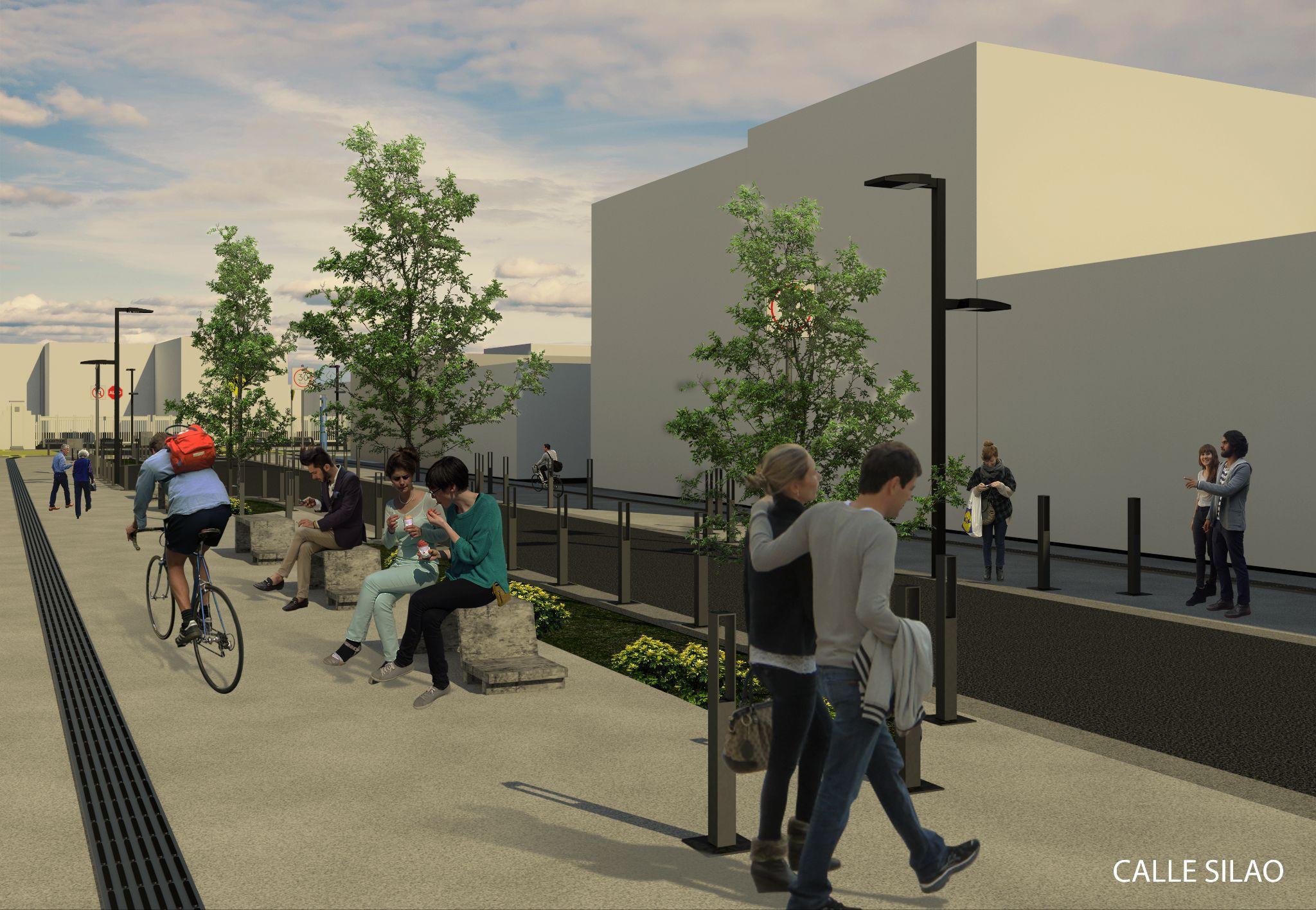
6. Corredor Verde. Distrito Médico Gonzalitos.
Comprehensive mobility project prioritizing non-motorized transport, urban design of widening sidewalks, reorganization of vehicle flow, street-level commerce and collector parking. Universal accessibility infrastructure, improvement of bus stations with big data for circuit control and recovery of public space.
Area: 1,174.00 m²
Beneficiaries: more than 22,575 people
Components: a)Ciclovía: 3,438.00 m² b) Sidewalk: 5,089.00 m² c) Árboles: 287 Pzas d) 7 Cruces Seguros – Reductores de Velocidad. e) 4 Bahías de ascenso y descenso. f) 2 Áreas de espera g) 5 Miradores – Área de descanso